Nonprofit profile: Pacheco Reservoir project reaches $2.5 billion
Unstable ground on site raises dam construction cost by nearly $1 billion

By Marty Cheek
The price tag to build a proposed massive dam near Pacheco Pass in south-eastern Santa Clara County nearly doubled from $1.3 billion to $2.5 billion after a recently released study showed unstable geology at the site.
The project calls for a 319-foot-high dam constructed along the lower end of North Fork Pacheco Creek in the Diablo Range just north of Highway 152 near Henry W. Coe State Park. It could be as long as 2,100 feet at the downstream site or 1,800 feet long at the upstream site.
 After a geotechnical contractor made 130 borings last year to test the ground, it provided a report in December that showed the dam site has geologically unstable rock. Work crews would have to dig down at least 30 feet deeper than previously thought to hit bedrock of solid granite to provide a stable foundation for the dam. That additional work would increase construction of the project from five to eight years and add more than $1 billion in costs due to major changes to the dam and spillway design, according to an estimate by Valley Water engineers.
Most of the cost for the project would be paid for by increases in water rate that will be seen on the bills of Santa Clara County residents and businesses.
 A collaboration between Valley Water (the Santa Clara Valley Water District), the San Benito County Water District, and the Pacheco Pass Water District, the Pacheco Reservoir Expansion Project will boost the current Pacheco Reservoir’s operational capacity from 5,500 acre-feet to up to 140,000 acre-feet. This would be nearly as much as all 10 existing dams Valley Water now manages. Anderson Reservoir in Morgan Hill, the largest reservoir in the county, has a capacity of 90,000 acre-feet. (An acre-foot is equivalent to 325,851 gallons of water.)
The location of the dam is known to have had slides due to loose material that is subject to movement. If the dam is built on this area without a solid foundation into the bedrock, it might suffer structural failure if an earthquake or heavy rains or mudslide undermines its foundation.
 The expanded Pacheco Reservoir would ensure a more reliable supply of safe, clean drinking water and help protect the county’s groundwater supplies during droughts and emergencies, such as a Delta levee failure, said Valley Water director John Varela, who represents the South Valley region
“California’s last drought lasted five years, and it is predicted that climate change will result in more extreme droughts in the future,” he said.
Groundwater provides about 40 percent of the water used in Santa Clara County and nearly all the water used in South Valley, he said. The expanded reservoir will benefit the South Valley community and other sections of Santa Clara County for generations to come by significantly increasing the amount of water stored above ground.

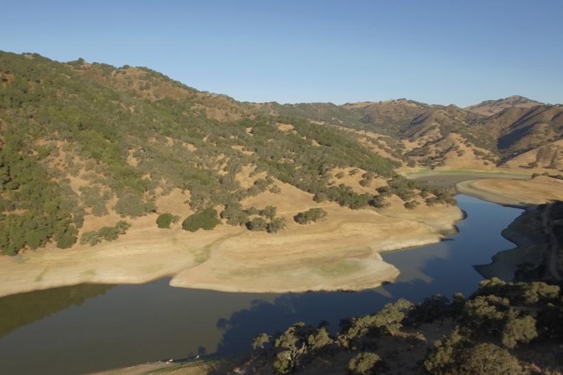
Photo courtesy Valley Water
Weather in future decades is expected to be more extreme because of climate change, including more frequent and severe droughts with warmer spring rain storms resulting in less snowpack in the Sierra Nevada mountains. An expanded Pacheco Reservoir would hold some of that water during wet years to use during drought years. An expanded Pacheco Reservoir would hold enough water to supply 1.4 million people for one year if required in an emergency.
“Without an expanded Pacheco Reservoir, the reliability of our water supply during future droughts will be less secure,” Varela said. “Droughts are almost always statewide and have impacts on all water sources. Having a dedicated, emergency supply in Pacheco Reservoir would ensure we have water available within our system and under our control, which would bolster reliability for our entire county, and all the residents and businesses who depend on a secure water supply.”

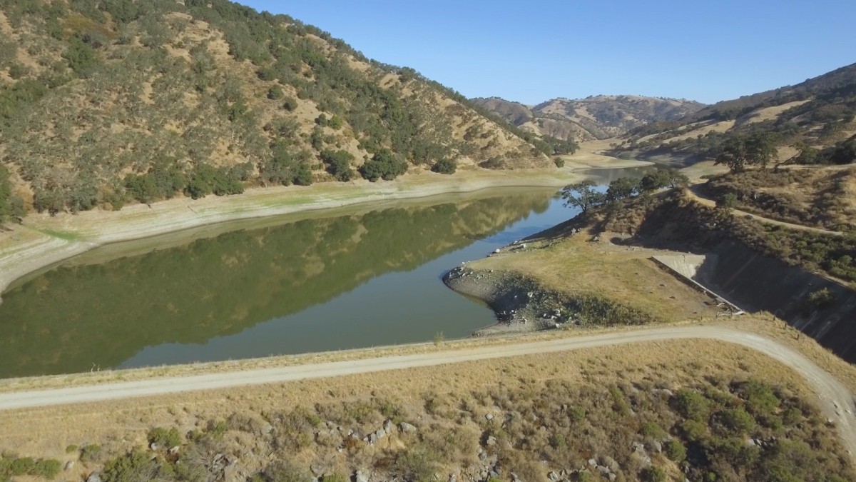
Pacheco Reservoir from the air.
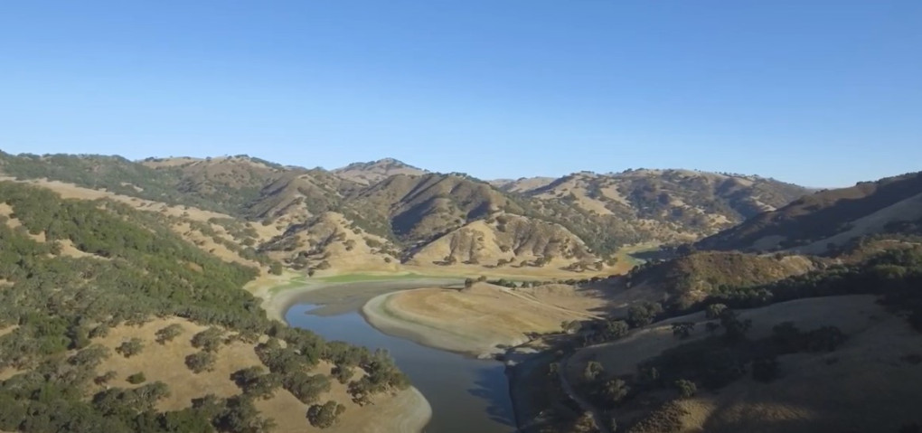
Photo courtesy Valley Water
Some of the changes to be included after the geological report include:
* Deeper excavations to reach the dam foundation. This results in additional costs for the foundation excavation and materials to build the dam.
* A reconfigured spillway design to provide necessary stability, which increased costs substantially.
* This also resulted in a longer estimated construction timeline, which means added labor costs. Several other challenges to the project were also identified, such as constructing access to the site and other utilities.
Valley Water seeks to reduce the estimated project costs and secure additional funding sources.
At the Jan. 12 board meeting, Valley Water directors received an update on the project alternatives and costs. After discussing the information presented, the directors instructed staff to continue with planning and design of the proposed project, which includes holding public scoping meetings for the draft environmental impact report. Two public meetings are planned on Feb. 24 and 25. More details will be posted on the Valley Water website and social media platforms.

Photo courtesy Valley Water
During the board meeting, the directors approved the recommendation to perform an audit to determine the timeline associated with cost increases for the project. The directors also expressed a desire for Valley Water to do more outreach and two-way engagement with all members of the community.
The reservoir will hold runoff from the North Fork Pacheco Creek watershed, the reservoir as well as water pumped from the San Luis Reservoir east of the site along Highway 152.
The original earthen Pacheco Dam was completed by the Pacheco Pass Water District in 1939 at a height of 100 feet and length of 600 feet. The reservoir now holds a capacity of 5,500 acre-feet.
Valley Water is exploring the project design and evaluating environmental impacts under a cost-sharing agreement with the California Water Commission. The draft EIR (environmental impact report) is expected to be completed by next year. Construction of the project is projected to begin in 2024.
