Take a Hike . . . with Mike Monroe: Take a morning walk through Chitactac, learn about Native Americans
The rate of sea level rise diminished significantly after about 6,000 before the present
![]()

By Mike Monroe

Mike Monroe
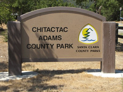
 Understanding our local landscapes and history has always been enjoyable aspects of my 35-year residence in southern Santa Clara County. One of our true treasures that deserves attention and respect is the village site of the Chitactac people. Located at the confluence of Little Arthur and Uvas Creeks, this intersection of pathways for the first peoples tells their story when we read and understand the rocks and the landscape. Numerous mortar holes in the sandstone confirm the importance of acorns, as well as other nuts and seeds, in their daily diet, and the petroglyphs etched into the rocks communicate a message of their relationship with the earth.
For a broader context, a few historical observations are offered which may provide a starting point for the conversations during our walk:
- Most anthropologists and archaeologists begin with a 10,000 BP year time frame (BP = Before Present) when discussing the first peoples in our area. After the last great Ice Age peaked at about 18,000 BP, the thawing of the interior North American and Eurasian ice sheets added nearly 120 meters of water to Earth’s oceans. The rate of sea level rise diminished significantly after about 6,000 BP, although we are now experiencing a rapid expansion of ocean levels due to ice melt caused by warming temperatures. Evidence of most early coastal habitation sites in California were lost after being inundated prior to 6,000 years BP.
 The first peoples found what is now the southern Santa Clara County landscape provided plenty of resources and a good climate. Of the eight language groups in the Bay Area, the population density of Amah Mutsun people living in the Pajaro River drainage was the most numerous.
- Chitactac residency is dated from about 3,000 years BP. It is recognized to have been a major village site that would have supported a substantial population living in the Uvas Creek watershed. The place name of Chitactac was noted in the Mission records by anthropologist Randall Milliken and translates roughly as the “dancing place” (Citte = dance and Tak = place or location). The first peoples living in the area of the Pajaro River watershed called themselves Huumunttakwas – the “people of the west, or westerners.” The word Amah or Ama, meaning “person,” is incorporated into the tribal name and is the preferred reference to the Native peoples who lived in the Gilroy, San Juan Bautista area.
- The Native language spoken throughout the Pajaro River watershed prior to Spanish contact is referred to as Mutsun, which is derived from the name of a tribal village near San Juan Bautista. The Franciscan missionaries did recognize though that each tribal locality employed their own dialect. Padre Felipe Arroyo de la Cuesta, a missionary at San Juan Bautista from 1808-1833 collected more than 3,000 Mutsun words and published a vocabulary in 1815 which provided the foundation for further research by anthropologists. Researchers used Cuesta’s linguistic records with Ascenscion Solorsano as she was the last fluent native speaker of the Mutsun language. She lived in Gilroy and is remembered in the exhibits at Chitactac.
 The COVID year of 2020 overwhelmed the planned celebration of Gilroy’s 150th anniversary of becoming an incorporated city. Many of us know the story of the Scotsman John Cameron (a.k.a. “John Gilroy”) and his arrival in California in 1814. By 1821 he married into the Ortega family, the first settlers of Rancho San Ysidro — another provisional land grant in 1809 that further infringed on the lands of the Amah Mutsun. Less well known is Thomas Doak, an American from Boston, who like John Cameron jumped ship in Monterey in 1816, made his way to Rancho Las Animas, marrying one of Castro’s daughters in 1820 at Mission San Juan Bautista. Doak worked for the Mission as a painter and carpenter. The Ausaima people who lived near the Ortega adobes at Rancho San Ysidro (today known as Old Gilroy) along Pacheco Pass and Soap Lake were very resistant to the early recruiting efforts by the missionaries and were twice repelled by the Mission soldiers in the early 1800s.
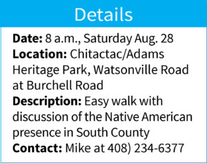
We will start our hike early to avoid the heat and retreat to the coolness of the creekside path. We will not follow the Amah custom of starting the day by plunging into the waters of Uvas creek.
Keep on sauntering!
